
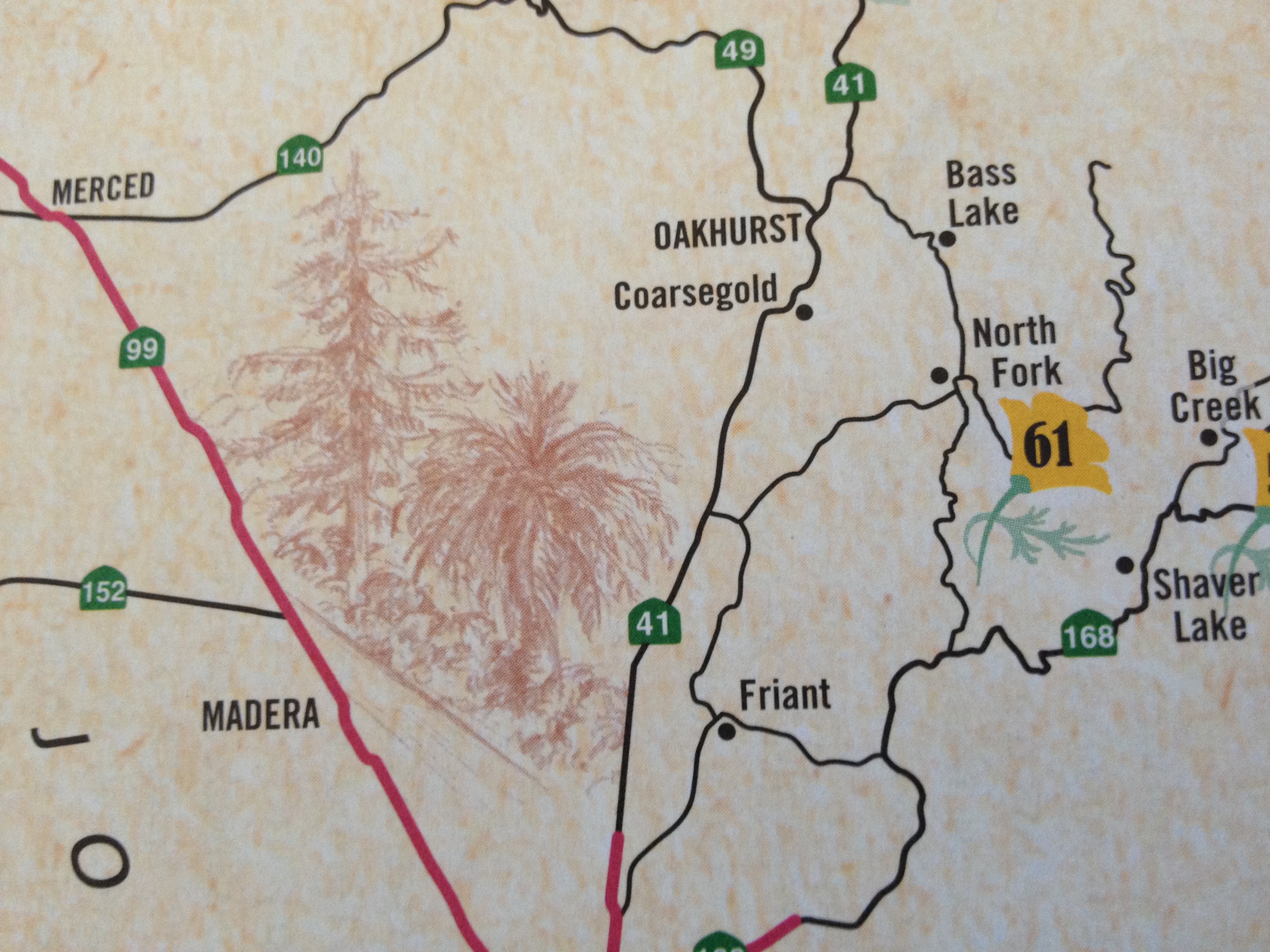
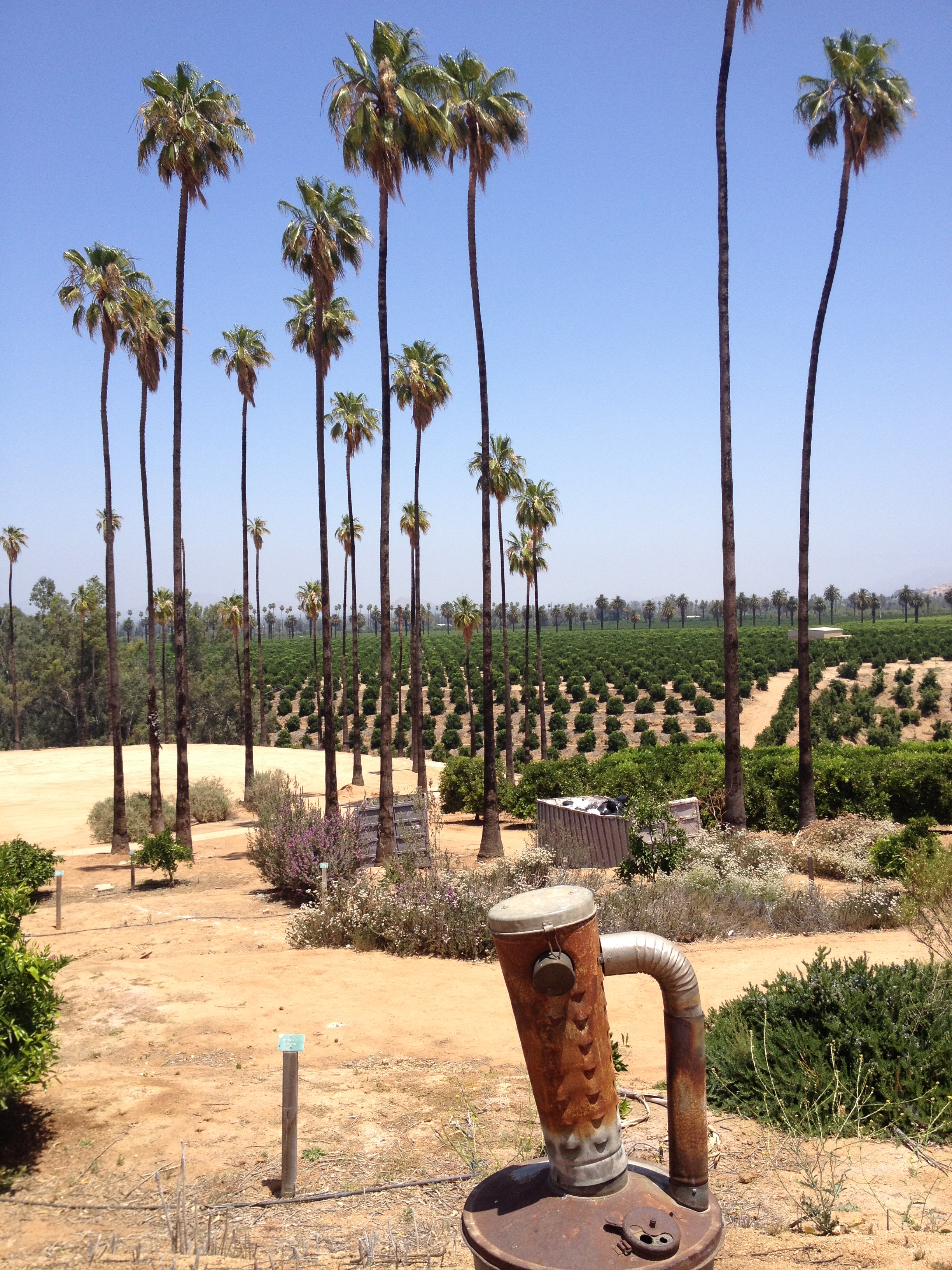
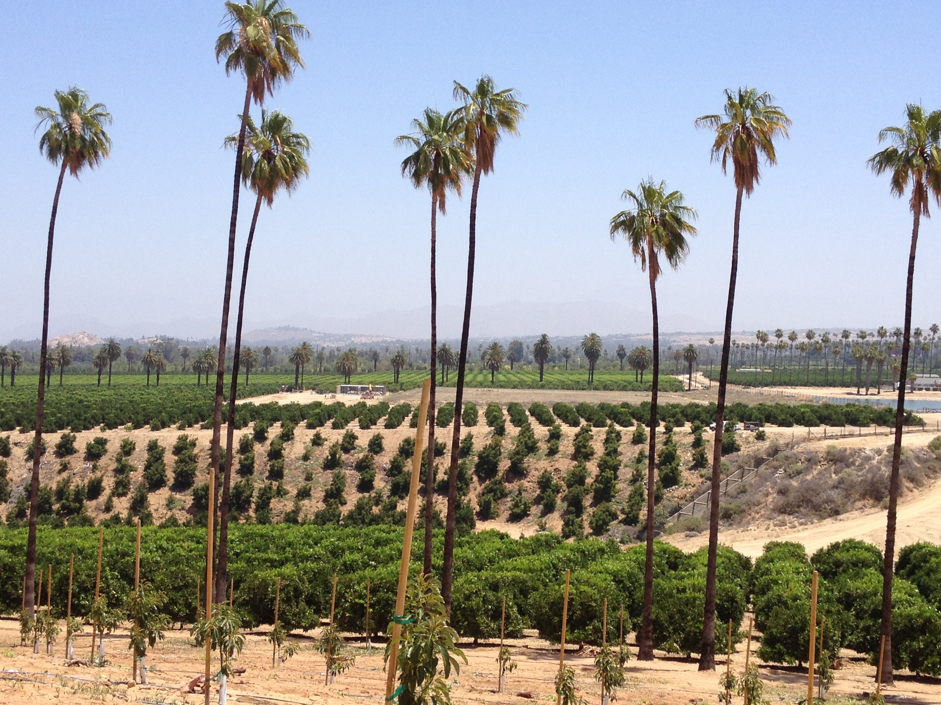
Madera County
The geographic center of California is marked by a sign in North Fork, an unincorporated community in Madera County. Highways 99 and 41 cross through this Central Valley area known for its trees and gold rush history. A picturesque summer drive for travelers northbound is the National Forest Scenic byway, beginning in North Fork and passing near a strand of giant sequoias at the Nelder Grove. The county extends to the western slope of the Sierra Nevada Mountains. www.madera-county.com
California’s Gold Guide Map available at Automobile Club of Southern California
Home of:
Oakhurst – Art galleries, craft shops, and motels greet the tourists traveling through Oakhurst north to Yosemite on Highway 41. Fresno Flats Historic Park welcomes visitors to its century old structures – a schoolhouse, and blacksmith shop, among others.
Highway 49, The Golden Chain Hwy, begins in Oakhurst and winds through the fabled gold rush towns of Jamestown, Sonora, Auburn, Coloma and Placerville. www.oakhurstchamber.com
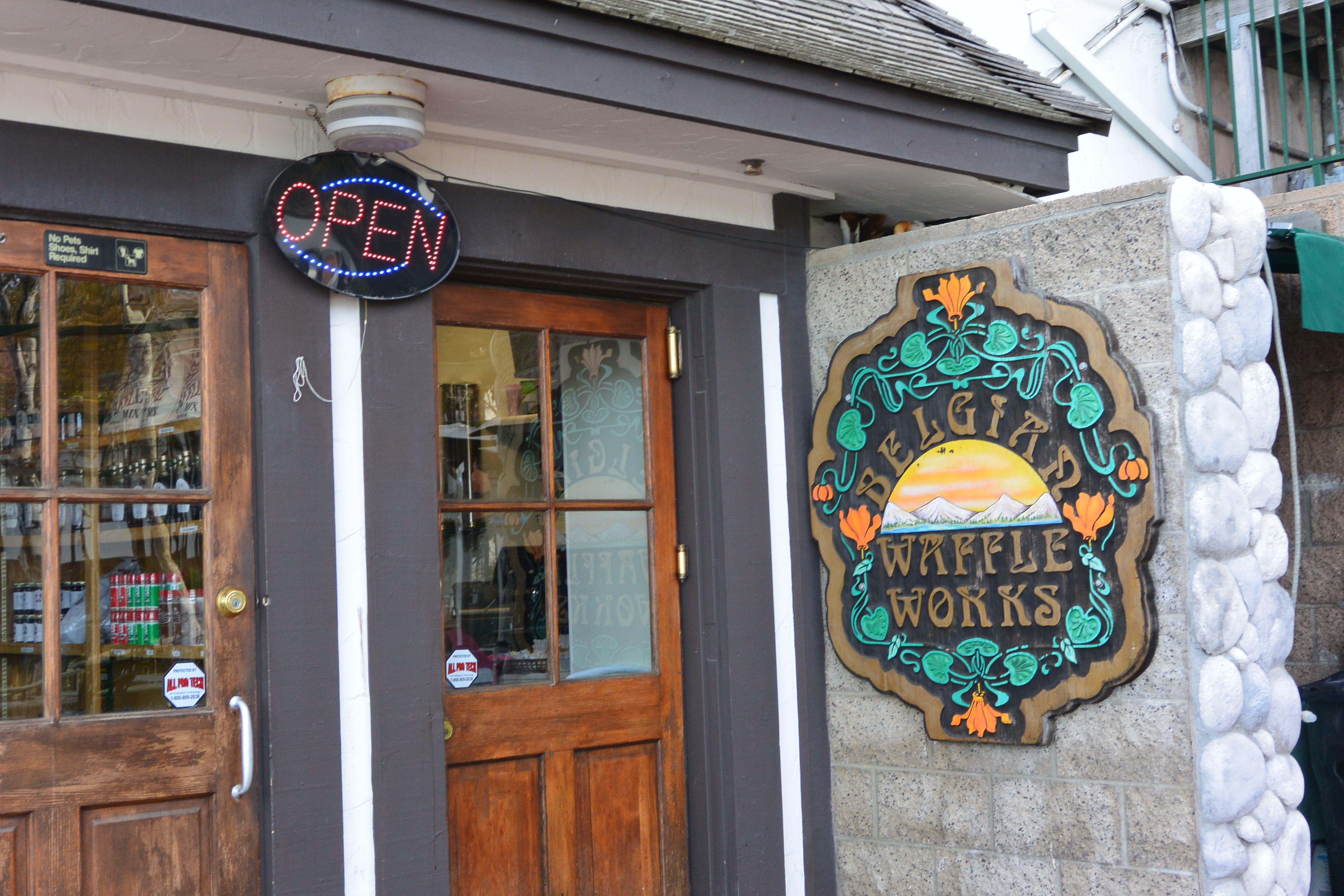
Yosemite Mountain Sugar Pine Railroad – 56001 Hwy 41, Fish Camp, CA. You can buy a ticket for a ride through the trees of Sierra National Forest on this narrow gauge train. (I could hear the distinctive train whistle while running the Shadow of the Giants 50K.) A variety of ticket packages are available: a Moonlight & BBQ Ride, a Moonlight Melodrama with a performance by the Golden Chain Theatre, and the daily Logger Steam Ride. www.ymsrr.com
The Narrow Gauge Inn offers lodging and a restaurant within walking distance to the railroad. www.narrowgaugeinn.com
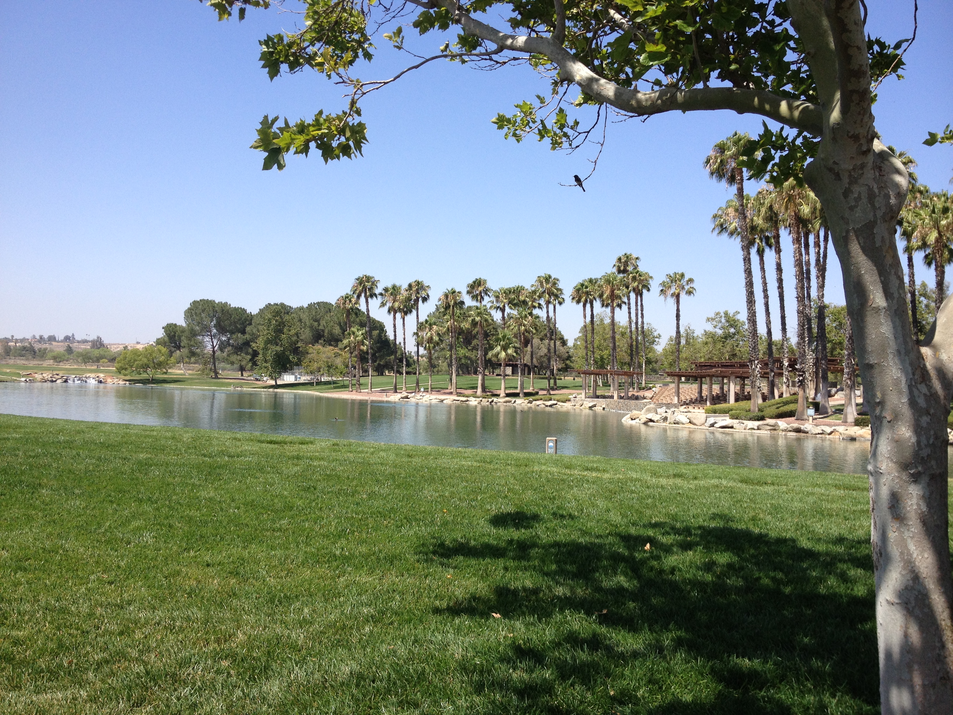
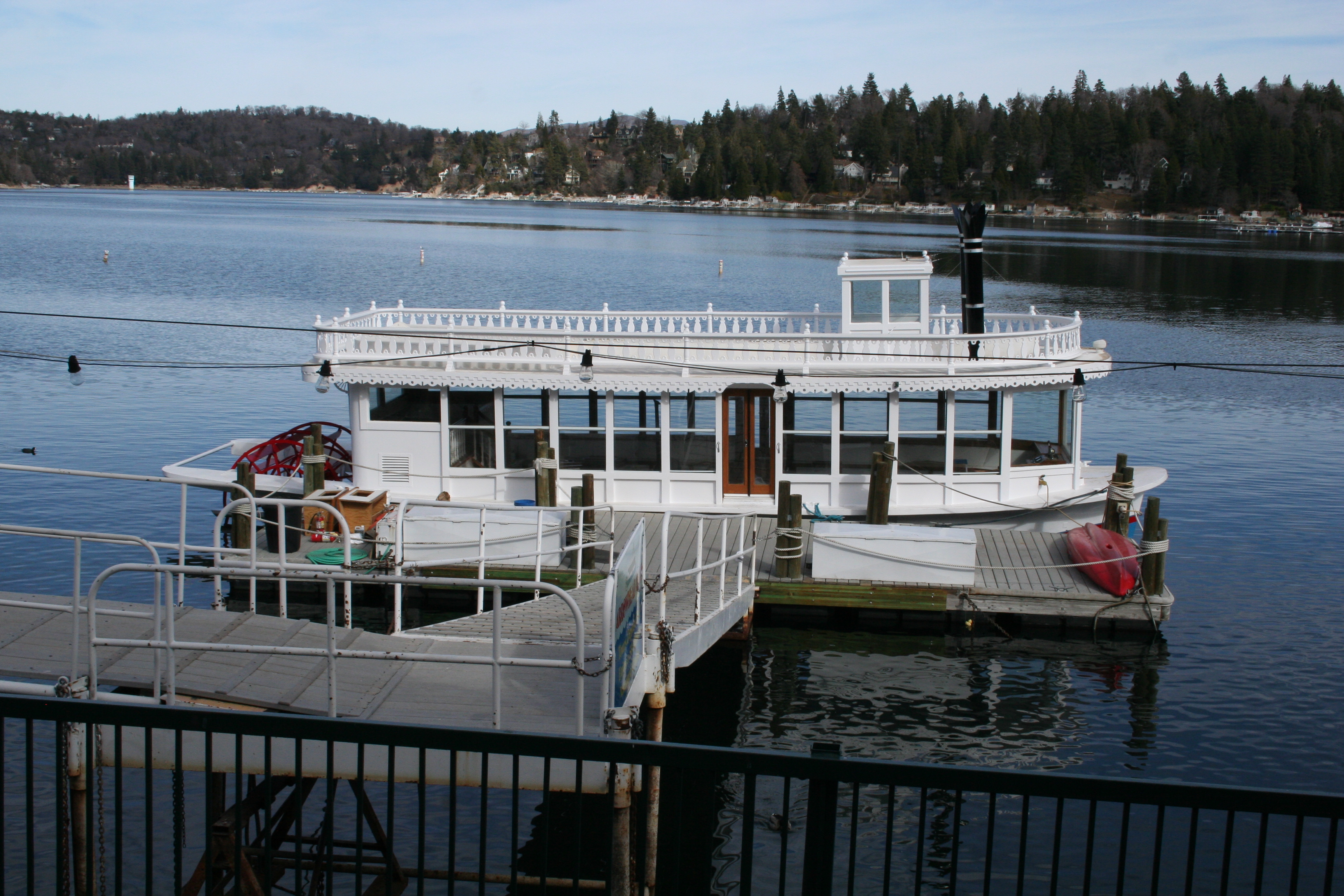
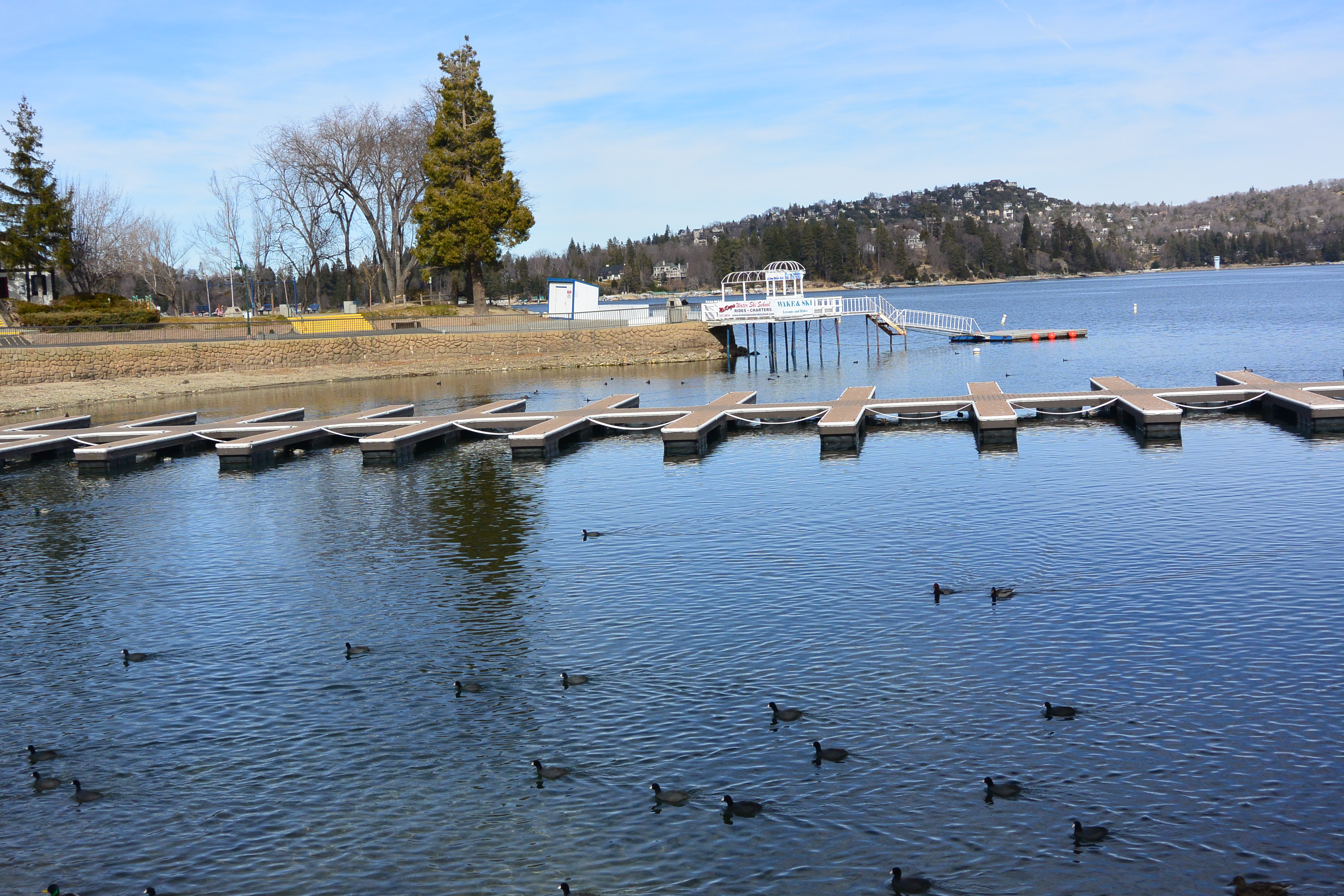
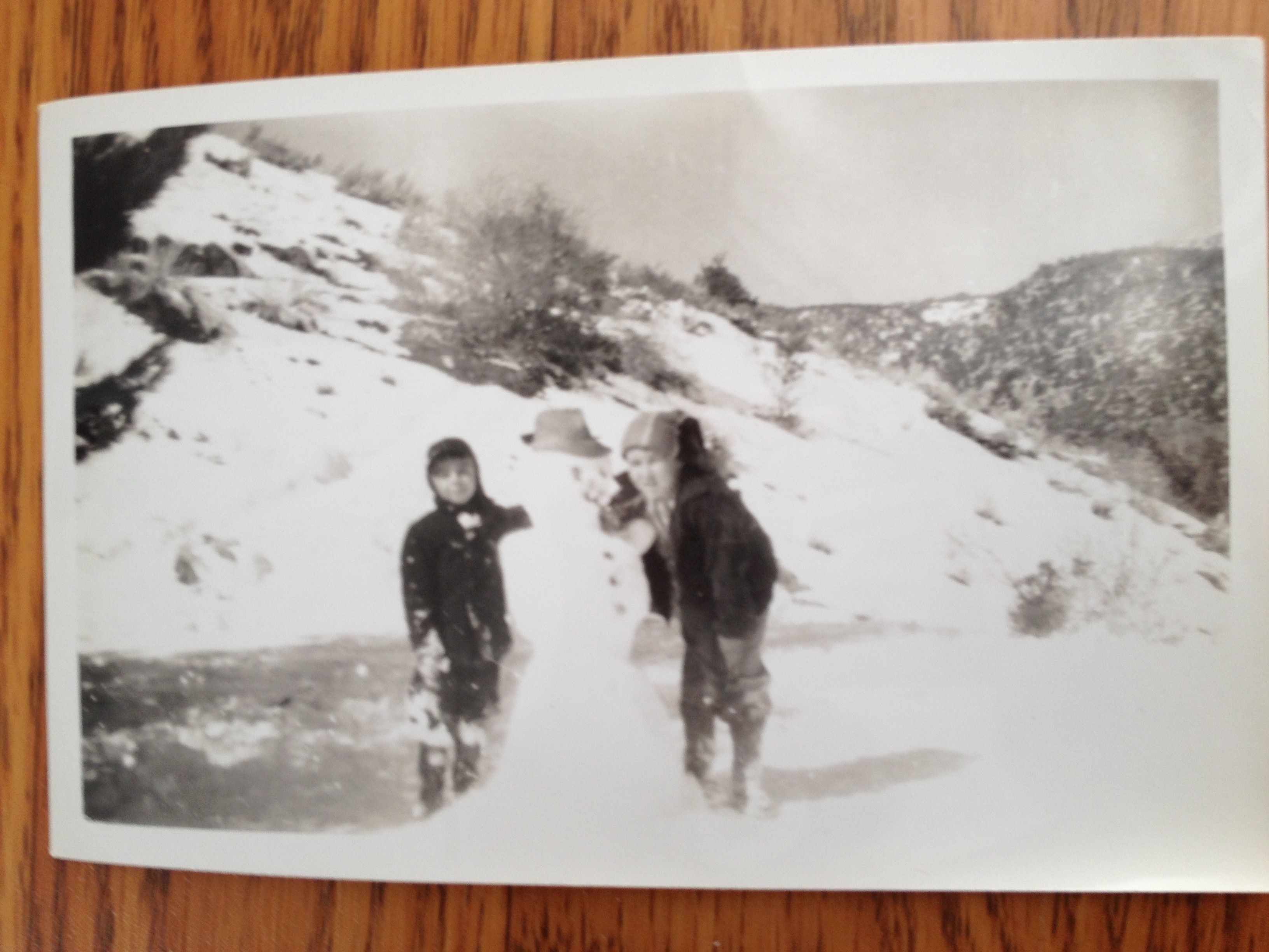
Bass Lake – Also known as Crane Valley Reservoir and owned by PG & E, this body of water is formed by a dam, originally built in 1896 from a tributary of the San Joaquin River. Camping, boating, fishing, and hiking are popular during the hot summer months. (I remember camping on the lake as a child and my mom’s futile efforts to keep us kids clean around the dusty campsite.) About 15 miles from the south Yosemite gate, Bass Lake provides electricity and irrigation. Vacation rentals are available around the lake. www.basslakeca.com
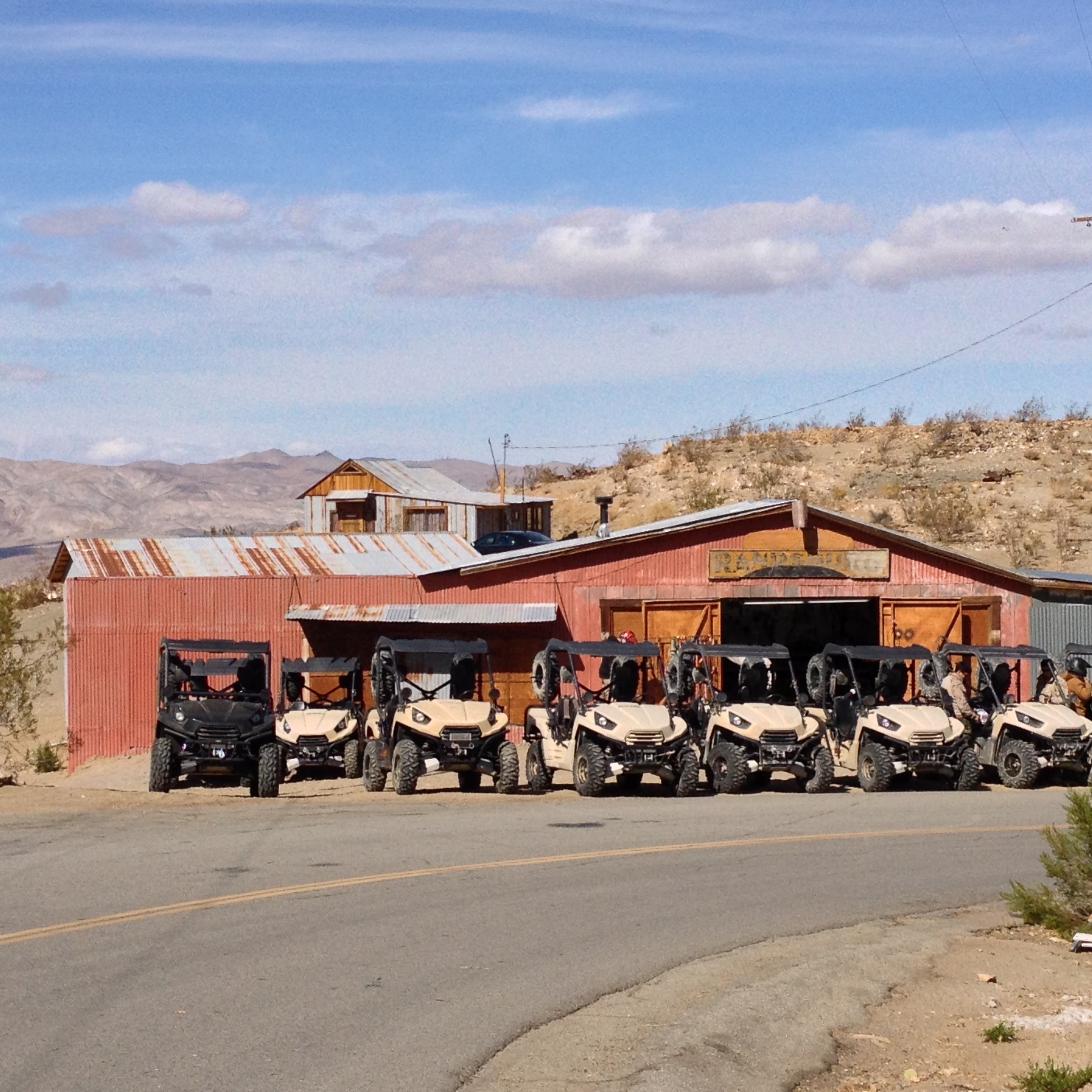
Coarsegold – Once an overnight stage stop for travelers to Yosemite, this gold rush town now lures visitors to Chukchansi Gold Rush & Casino, just off Hwy 41 on 711 Lucky Lane! www.coarsegoldchamber.com www.chukchansigold.com
Madera – The city Madera is the county seat, incorporated in 1907. Hwy 99 runs through the former lumber town. www.cityofmadera.org
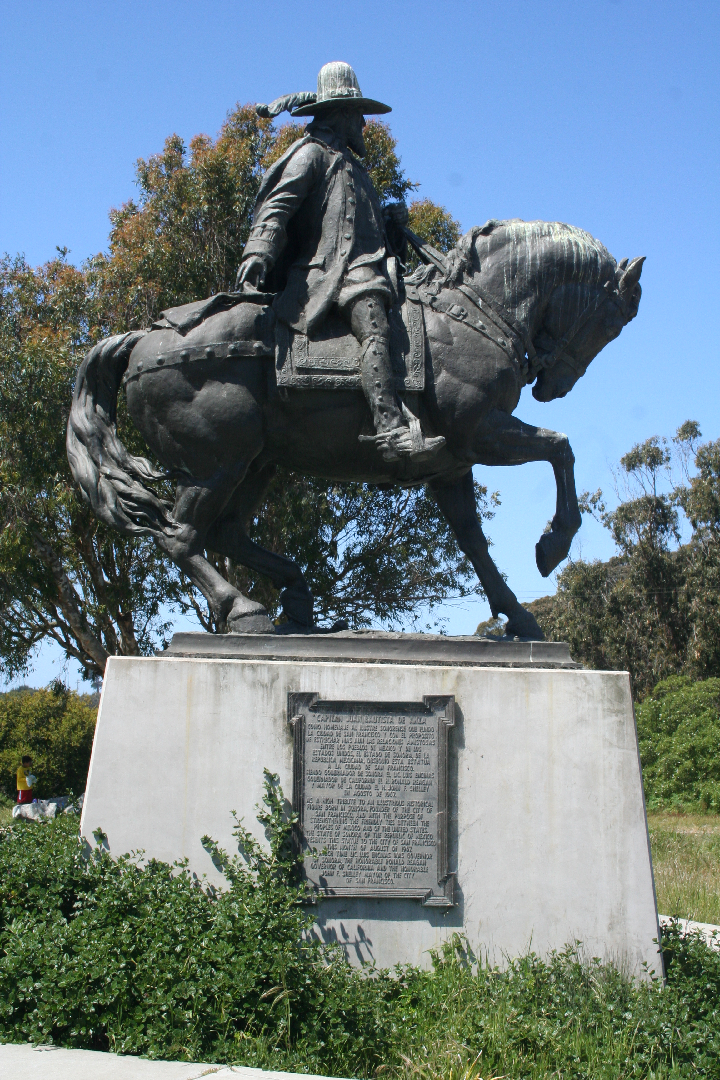
North Fork – In this unincorporated community, the exact geographic center of California is marked. Huell Howser spoke to locals and featured the precise spot on episode #608 of his series, “California’s Gold.” The Automobile Club of Southern California has published a map of places he visited for the well known PBS series. The popular host donated his archives to Chapman University in Orange. www.northforkcalifornia.com www.chapman.edu/huell-howser www.calgold.com
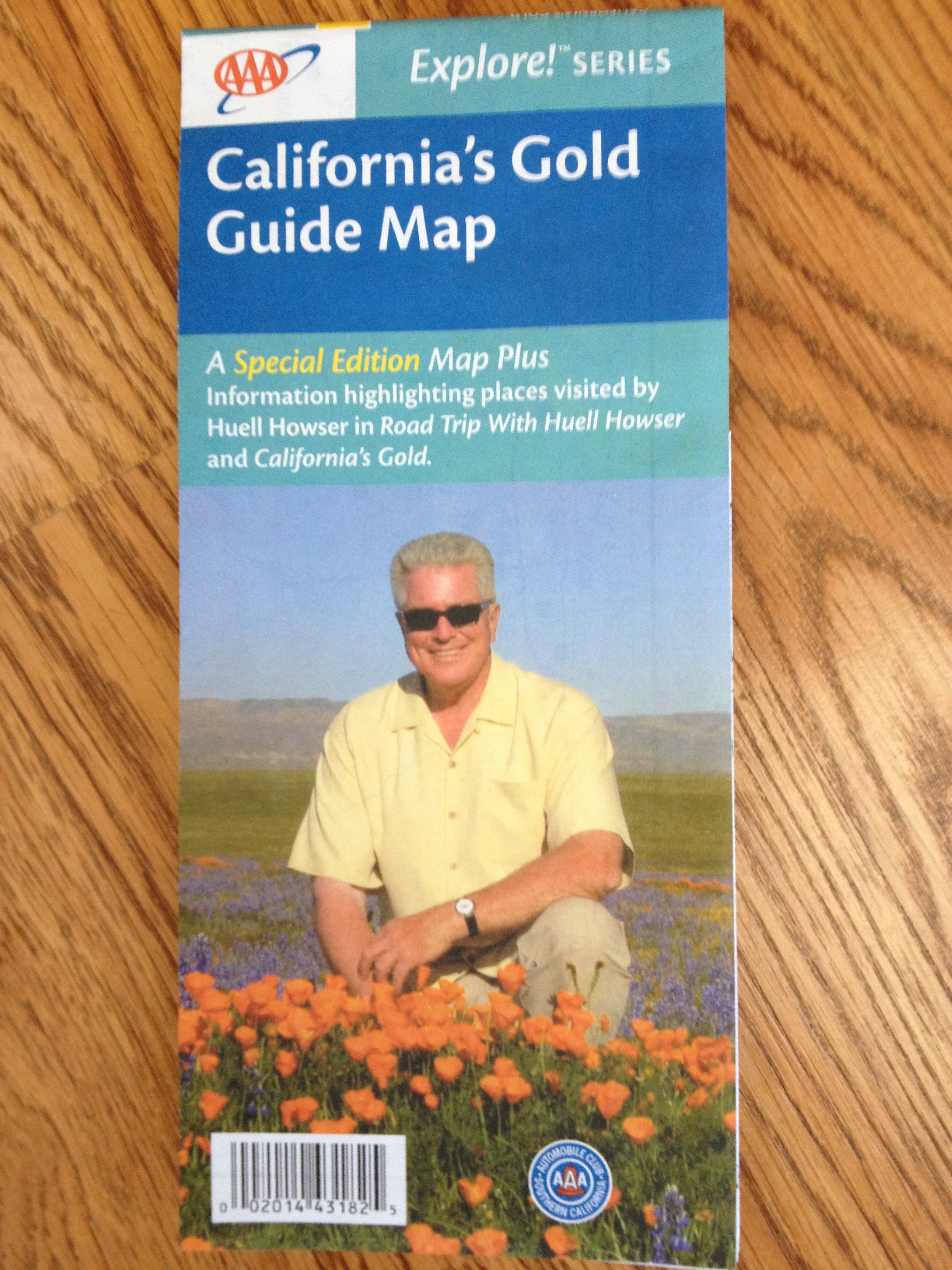
An Auto Club Map of many of the Gold Country sites visited by Huell Howser.
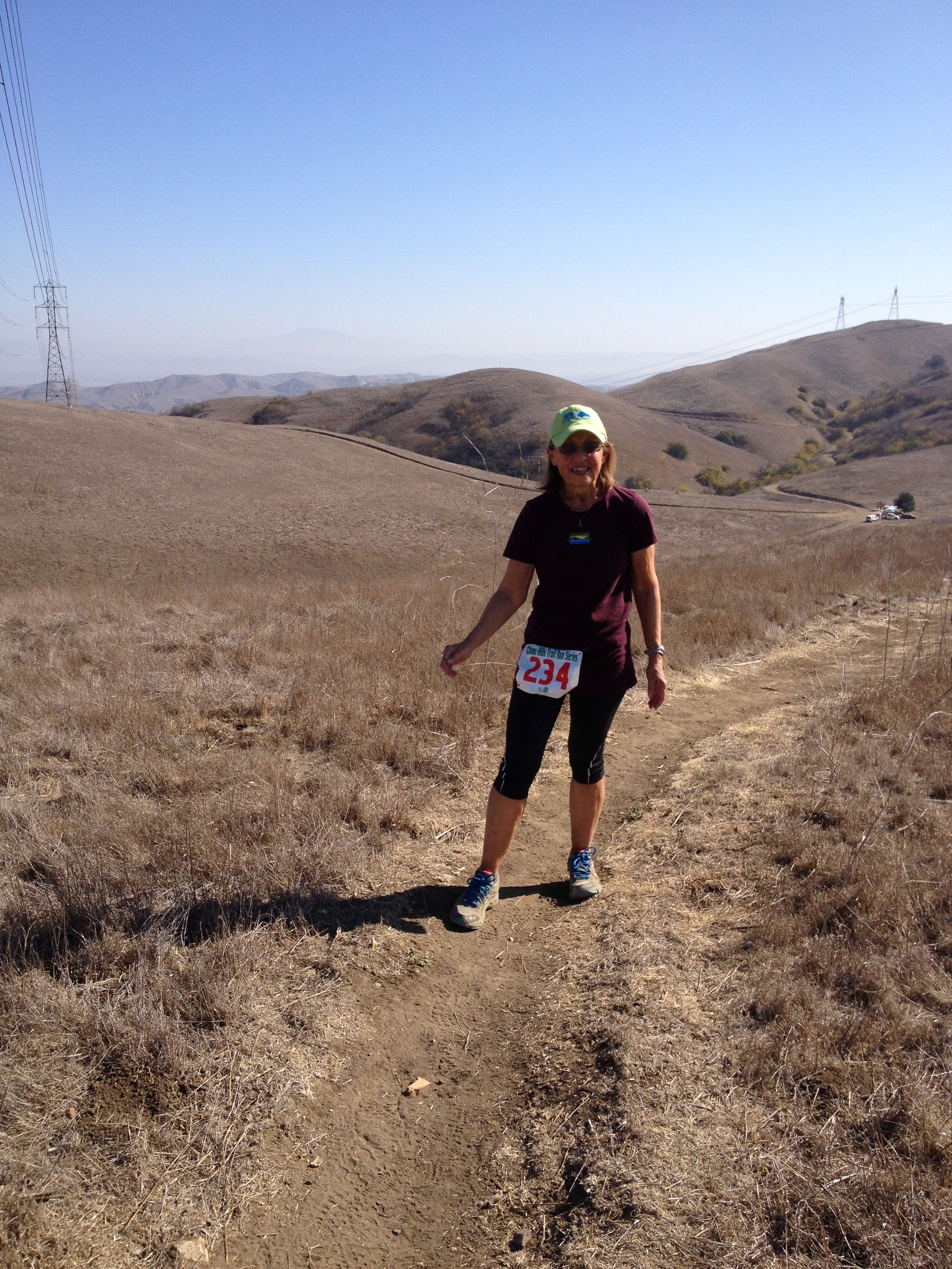
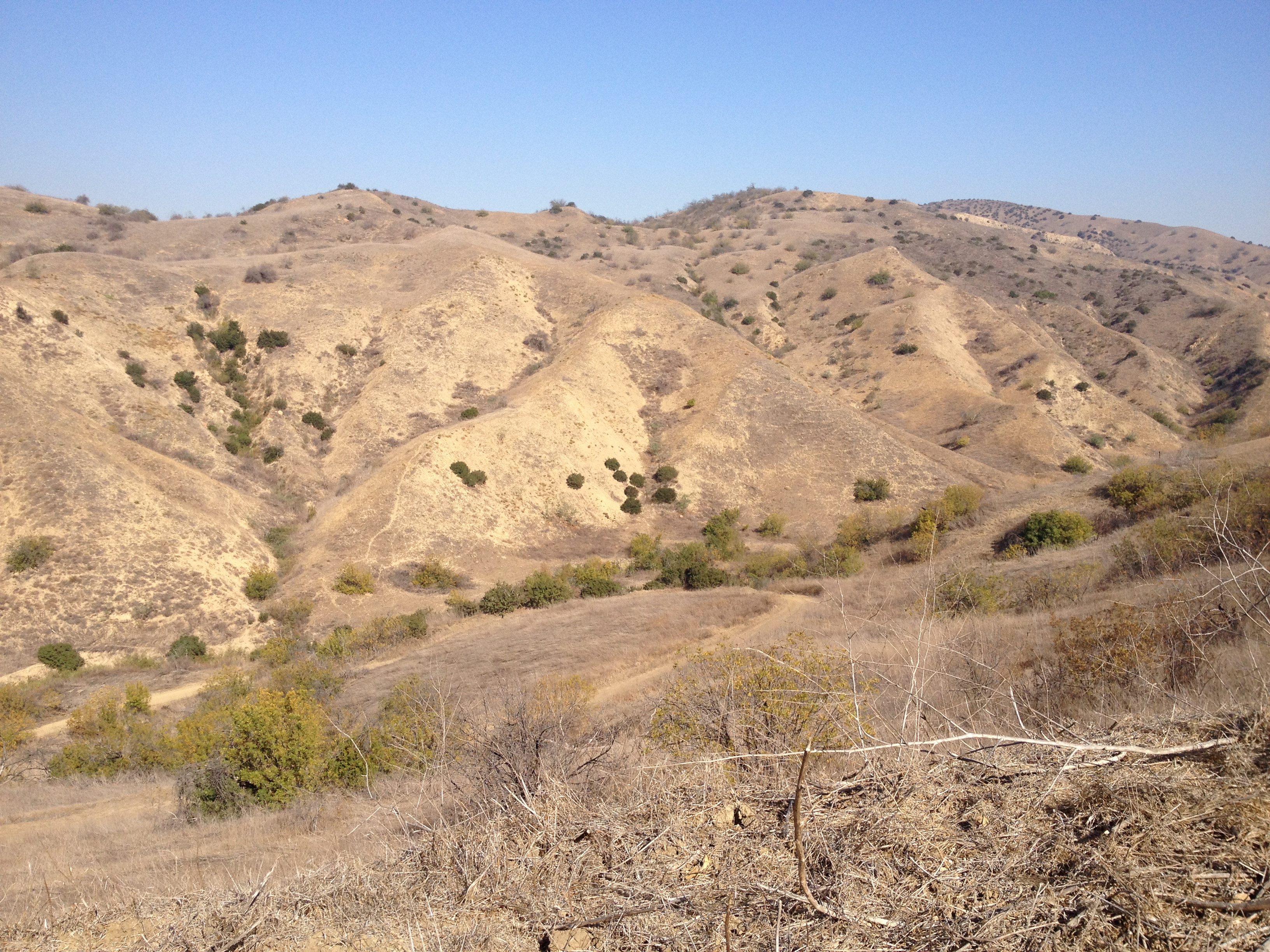
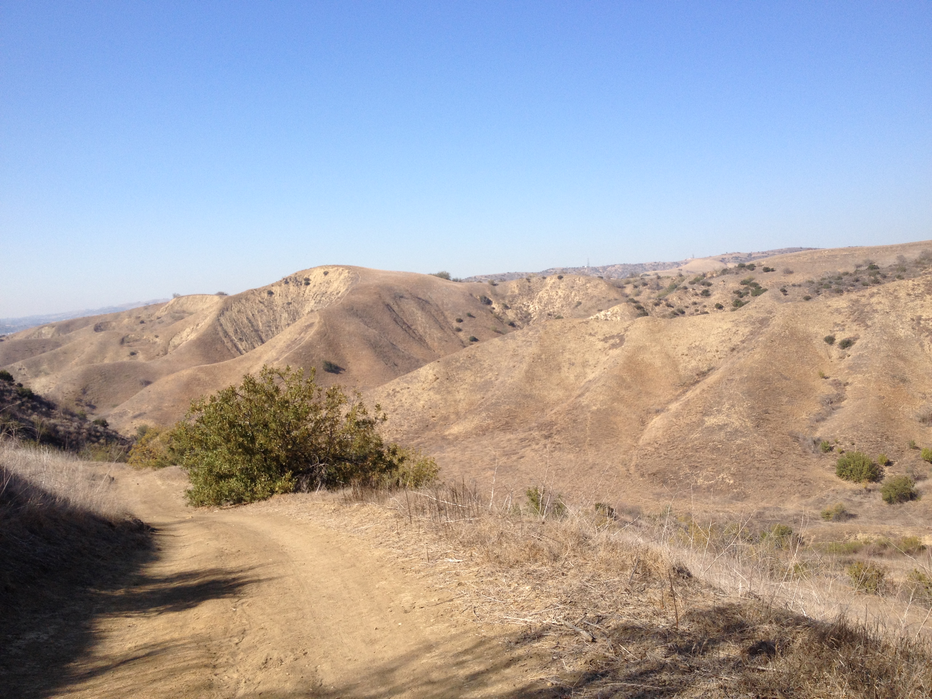
Nelder Grove – Located just north of Oakhurst, off Hwy 41, a one mile loop of giant sequoias is well worth a visit. A campground is adjacent to these magnificent trees. The Shadow of the Giants 50K Run, held in June, takes runners along the interpretive trail, inviting photo opportunities of the more than 100 trees. www.neldergrove.org www.bigbaztrailraces.com
Devils Postpile – Access to Devils Postpile National Monument is off Hwy 395 in the High Sierras. Cooling lava flows cracked into columns and formed this unique natural structure on the eastern edge of Madera County. The John Muir Trail and Pacific Crest Trail wind through here. www.nps.gov/depo/index.htm
Sierra National Forest – Sierra Vista Scenic Byway begins in North Fork and follows 76 paved of 100 miles through the Sierra National Forest. Traveling through graceful old oaks, rolling hills, and stately evergreens is a welcome respite from busy interstates. www.northforkcalifornia.com/scenic.htm
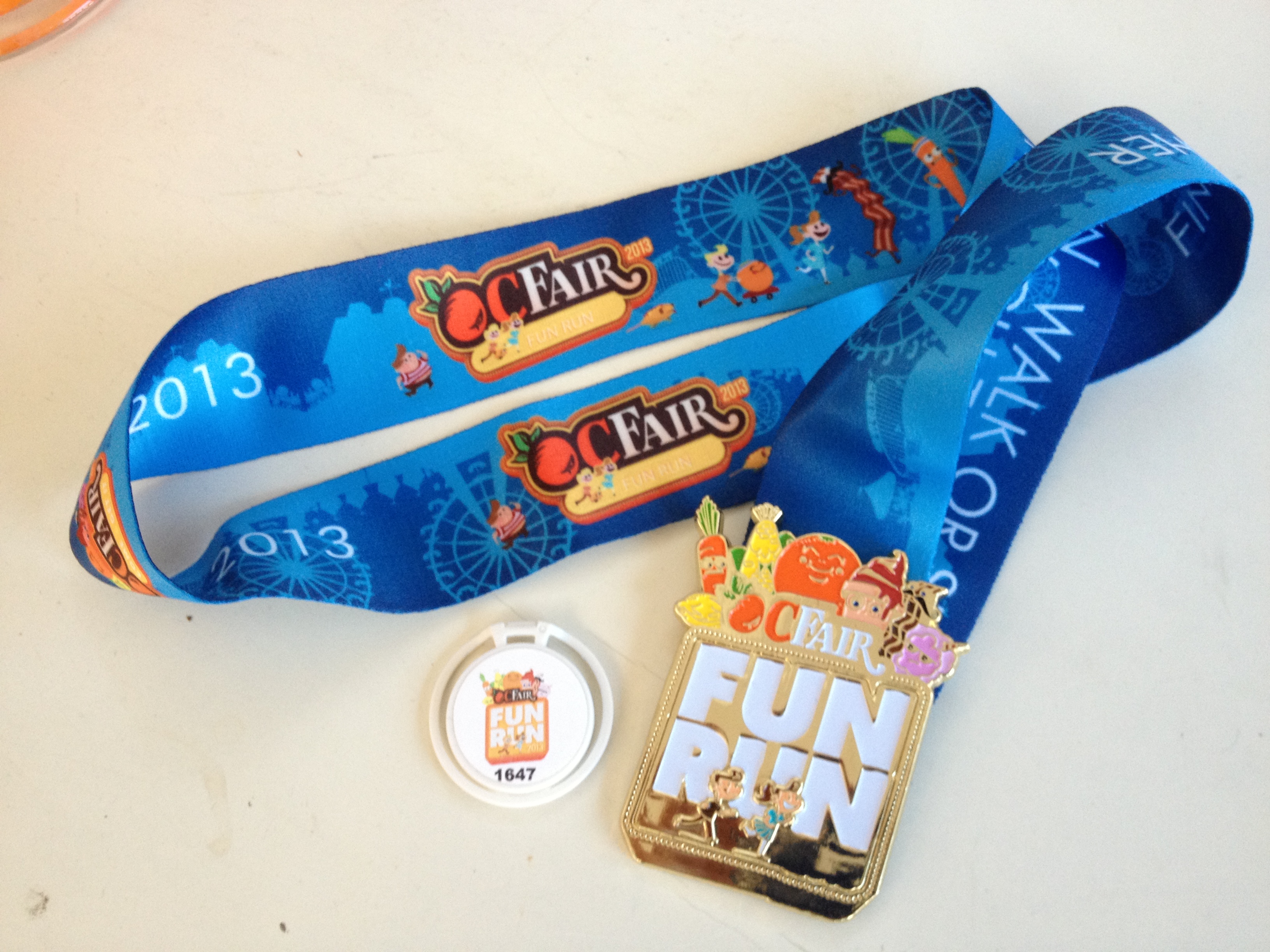
Shadow of the Giants 50k Run
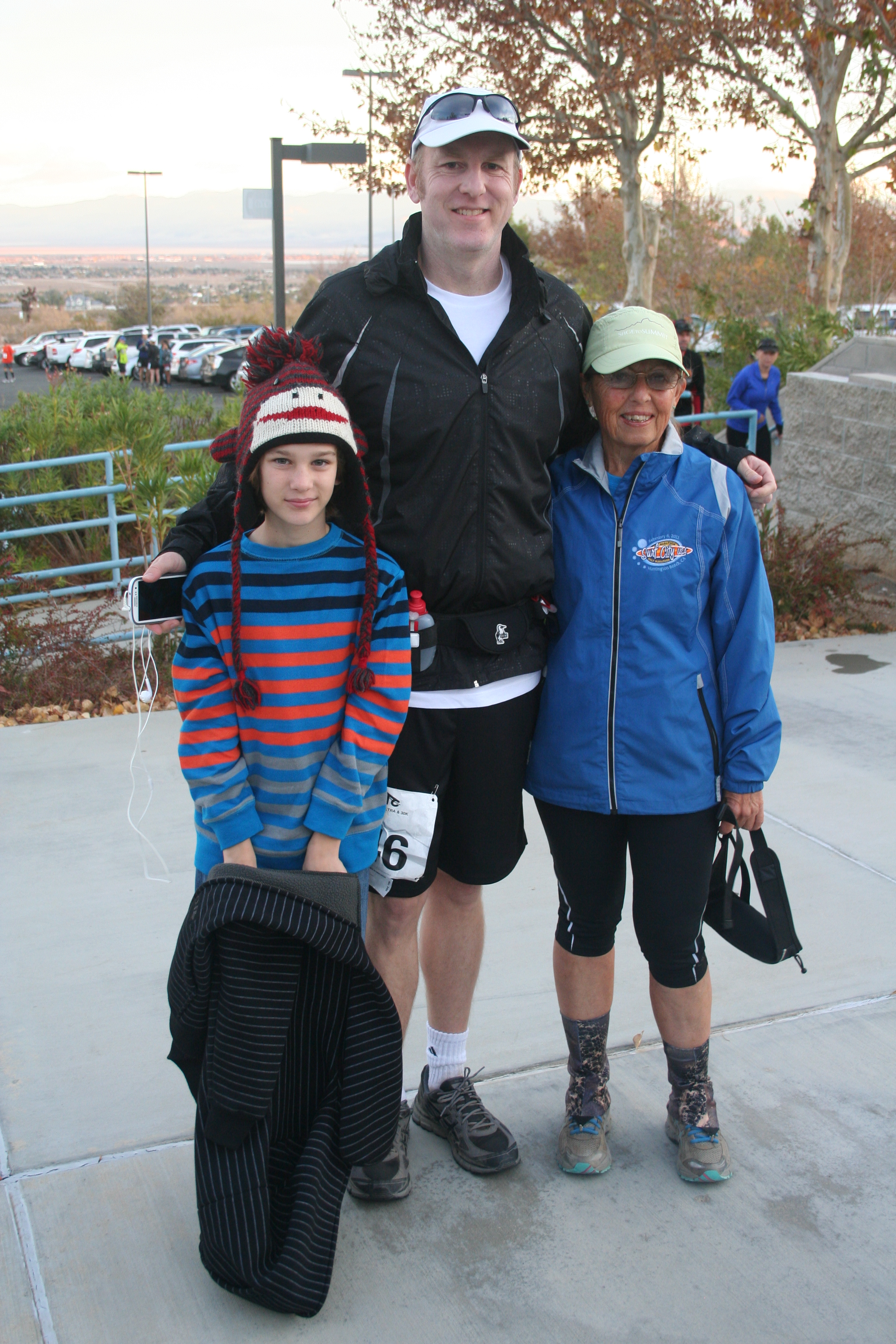
Highlights: June 2014 was the 25th anniversary of Shadow. it’s a favorite among Southern California ultrarunners. The scenery is beautiful – trees, rivers, and wildlife.
Distance: A 50k ultra and a 12 mile fun run are the choices.
Amenities: The aid stations provide the necessary replenishments. Lodging is available at the start at Green Meadows Camp.
Location: The race begins in Fish Camp at Green Meadows, just off Hwy 41, about 2 miles south of the Yosemite National Park southern entrance.
Course: The total climb is 3750 feet. The course follows single track trail and fire roads, much of it under the trees. The giant sequoias in Nelder Grove are spectacular and require a brief stop for photos!
My Observations: It’s a fun weekend. The pre-race dinner at Green Meadows, the gorgeous scenery, the friendly runners and volunteers, and the post-race camaraderie keep many coming back year after year.
My Results: 50k
6/4/05 7:30
6/2/01 7:38
6/3/00 7:41
6/4/94 7:21
Website: bigbaztrailraces.com
Smokey Bear Run/Walk
The 27th year of this event takes place September 27, 2014, at Recreation Point, Bass Lake, and benefits fire prevention programs. The races begin on the south shore of the lake and include a 10k, 2 mile run and several kids’ runs of 1/8 mile to 1/2 mile. When I participated, Smokey made an appearance. A fun event and a good cause! www.smokeybearrun.com


![ry=400[1]](https://cassandrajjohnson.com/wp-content/uploads/2014/06/ry4001.jpg)
![ry=400[3]](https://cassandrajjohnson.com/wp-content/uploads/2014/06/ry4003.jpg)


![ry=110[1]](https://cassandrajjohnson.com/wp-content/uploads/2013/08/ry11011.jpg?w=640)
![ry%3D110[1]](https://cassandrajjohnson.com/wp-content/uploads/2013/08/ry3d1101.jpg)
![ry=110[9]](https://cassandrajjohnson.com/wp-content/uploads/2013/08/ry1109.jpg)
![IMG_0177[1]](https://cassandrajjohnson.com/wp-content/uploads/2013/07/img_01771.jpg)
![IMG_0257[1]](https://cassandrajjohnson.com/wp-content/uploads/2013/07/img_02571.jpg)
![IMG_0310[1]](https://cassandrajjohnson.com/wp-content/uploads/2013/07/img_03101.jpg)
